Haninge
Les Dossiers synthétiques et d'enjeux sont disponibles gratuitement.
Merci de vous inscrire et vous connecter pour accéder au Dossier complet de site.
- Dossier synthétique EN
- Le site sur Google Maps
- Retour à la carte
Données synthétiques
Category Urban - landscape - architectural
Team representative architect - urban planner - landscaper
Location Province of Södermanland
Population City 11,500 inhab. - Conurbation 79,000 inhab.
Strategic site 17 ha - Project site 4 ha
Site proposed by Municipality of Haninge, Grosvenor Fund Management-Continental Europa, Stena Fastigheter AB
Owners of the site Municipality of Haninge
Commission after competition Urban project management role, design of public and landscape areas.
Information complémentaire
How can the site contribute to the adaptable city?
Haninge is a dynamic and growing suburb south of Stockholm with a plan to renew its city centre. There is an optimistic attitude towards large interventions and three major projects are already being planned, the Europan site presents a unique chance to introduce new urban ideals into a street space that bears the mark of modernistic large scale planning.
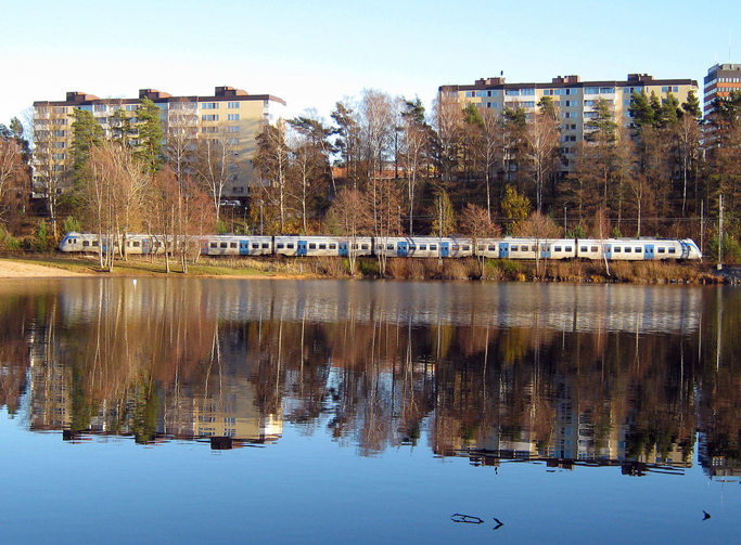
The strategic connection to Stockholm, the forest, and swimming lake just meters from the commuter rail station, and above all the sparse urban fabric make Haninge a perfect host for future growth in the capital region.
City strategy
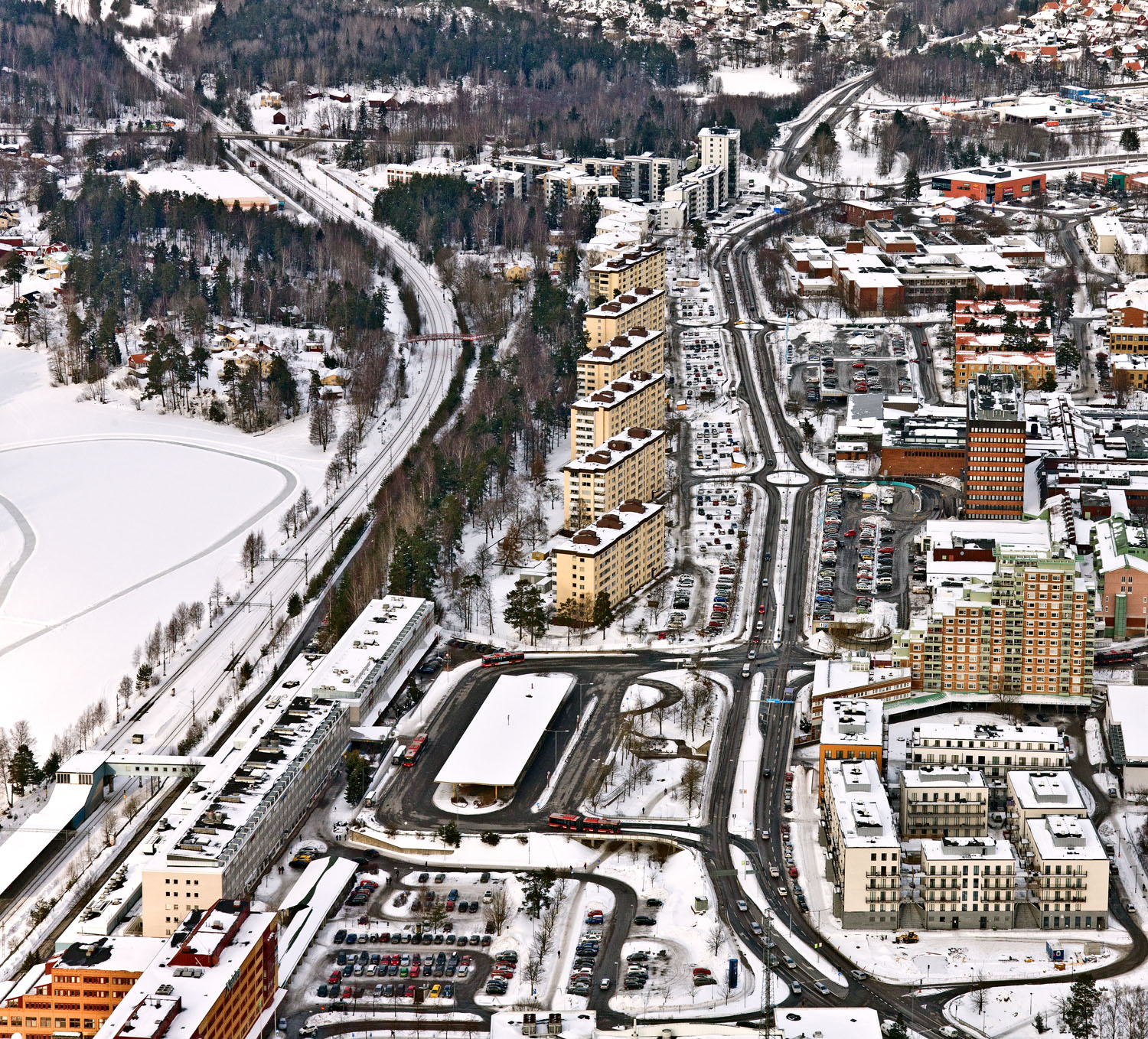
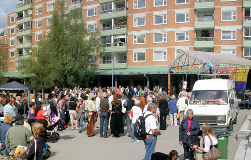
Haninge is located south of Stockholm, about 20 minutes by commuter train. It is a growing city. In order to meet the housing demand in the Stockholm region Haninge and seven other municipalities have been found suitable for further expansion. This is mainly because of the railway connection to Stockholm. Haninge town centre is the product of the large scale planning ideals predominant in the 60’s and 70’s. This was a time when car driven mobility was given high priority. The streets are very wide and there are large empty areas between the buildings. There are also many parking lots. Almost all the street life is concentrated to a large indoor shopping centre. This centre is open daytime only and because of this the central areas are a somewhat deserted at night and can feel unsafe to walk around in. Also the whole pattern of movements in the centre changes from day to night when the shopping centre is closed, and people are forced to take alternative routes around it.
Site definition
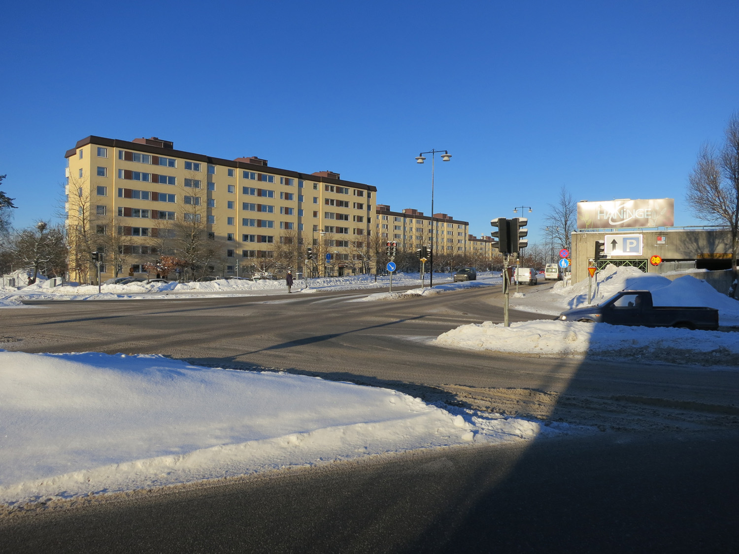
The project site has a wide street running through it from north to south. West of the street there are six tall free standing apartment buildings. Behind the buildings the ground slopes down to the railway tracks. On the other side of the tracks lies the beautiful lake, Övre Rudasjön, and further beyond the lake a pristine natural landscape. This area is disconnected from Haninge by the railway. South of the apartment buildings lies the commuter railway station and next to it a lot where a new bus station is planned.
Adaptability: main elements to take into account
The city wants to create a well functioning mixed city that is alive all hours of the day, easy to use for bikers and pedestrians. New public spaces should be suggested with the help of buildings. There is a demand for housing, but also small spaces at street level for shops and small businesses. There is also a demand for adaptable houses, adaptable for different needs and uses over time. The project site in question contains a newly reconstructed parkway flanked by vast parking areas. All new interventions must keep the number of parking spaces. There are a number of involved landowners on the site and the project will be developed together with these different parties. Therefore the competition entries must be easily understood and comprehensible for all.
Questions à propos du site
I cannot open the dxf file "HANINGE-SE-SS-M1", neither with Autocad 2009 nor with Vectorworks 2012... (According to Vectorworks, the file is corrupt)
The corrupt files have now been replaced.
Some files are corrupted. Where can I find altitude information for the site? There are some documents that are in Swedish only, will these be translated? Is there a map that displays public and private land?
1. The server doesn't recognize some Swedish characters, the file names have now been changed and the files should be working now, we apologize for this.
2. Altitude information can be found in the file dxf-files in the layer "height curves". Select a line and display the properties (in Autodesk) and the the height corresponds to the "vertex" - z value.
3. All relevant info is in English. Please use google translate for the Swedish documents.
4. The map "public_and_private_land.pdf" in the folder "0-New_docs_after_launch" displays public and private land.
Could you announce some of the relevant site rules like density, maximum building height, building distances and so on?
For the question about density we don´t have any exact figure for that, but our main task from our politicians and to fulfill the need for housing in Stockholm region is clearly to increase the density. To increase the density is an important question for us, basic for the possibility to develop into a city with urban qualities. Nor for the building heights we don´t have an exact figure, but about 6-7 levels we mean can be suitable for this part of our city, except maybe for a single or some “skyscrapers” with 17-18 levels. The closest you can built apartment buildings to each author is 8 meters.
There are several files written in Swedish language. Could at least the relevant contents be translated?
The relevant info in the swedish files are the images, for translation use google translate
Is it possible to close the main road for all traffic except allotment?
We think it is city like to allow all kind of traffic throw our city except lorry’s and heavy traffic. There is alternative to this kind of heavy traffic going to our different industrial areas. We think it is a part of the city life with many roads and streets crossing each and every one with all kind of traffic – cyclist´s, pedestrian´s, cars and even parked cars along the streets and roads, that is except for the heavy lorry traffic. We think it is an important part of the city that all kind of traffic can “silane” throw the city.
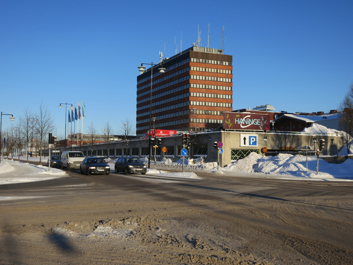
One can see that all existing parking decks are above ground? Is this because of the gravel, because of the ground water or just because of economic reasons? Is it generally reasonable to make new underground parking?
I should say it is neither for reasons of gravel or ground water. For Haninge municipality it is a reasonable solution with underground parking.
Can the part of the shopping mall, which is inside the project site, be demolished?
To tear down a major part of the shopping mall I would say is unrealistic. Maybe a smaller part that don’t affect the commercial structure of shopping.
Could you provide floor plans of a) the shopping center and b) the building blocks in the east?
We will try to produce this, in the meantime you can find a schematic floor plan on the shopping centre hompepage: http://www.haningecentrum.se/flashkarta
Could you provide further information about the existing parking lots? (plan, number, distribution key, ...)
You will find info in the "new docs after launch" folder
When are the road connections next to the train line set to be built?
If we understand the question right so is there a municipal planning going on for this road estimated to be ready in May 2014. The construction work for this road can maybe be ready in a year after that. The main task is to connect this road farther north to the existing infrastructure and also to make the road comfortable for biking and walking.
What are the details of the implementation of the Train station project? (dates of planned completion, more details of the project on the commercial areas, circulations)
To begin with the municipality of Haninge have to make a building plan in accordance with the existing architecture ide. We estimate such a building plan can be void in the beginning or in the middle of 2015. After that begins the design work for the project and after that begins the actual construction work, so the whole process can maybe be ready about 2017. Because it is still only an architecture ide it is hard to say the amount of commercial areas now, we will refer to the attached drawings.
Le site est lié au thème suivant
De mono-grand à multi-mixte Il existe deux types de transformation de territoires qui sont étroitement liés : la transformation d’une grande entité unique en une multitude d’éléments plus petits, et celle d’une zone mono-fonctionnelle vers une mixité des fonctions et des usages.
Ces deux transformations résultent en un degré plus élevé de complexité spatiale et fonctionnelle, qui est un des caractères essentiels d’une véritable urbanisation.
Dans ces transformations, un système composé d'éléments différenciés et plus petits est relativement plus flexible, plus capable de s’adapter. Si un élément tombe en panne, il peut attendre un changement ou un remplacement sans affecter une zone trop étendue. Si de nouveaux besoins émergent, ils peuvent être absorbés de façon plus égale dans le cas d’un modèle de distribution différenciée. Un mélange urbain très diversifié est plus évolutif qu'un grand regroupement mono-fonctionnel.
Questions à propos du site
Pour pouvoir poser une question, vous devez être connecté (et, par conséquent, inscrit au concours).
Ve. 16 mai 2025
Date limite de soumission des questions
Ve. 30 mai 2025
Date limite de réponses aux questions
Avant de soumettre votre question, assurez-vous qu'elle n'apparaît pas déjà dans la FAQ.
Merci de poser vos questions sur les sites dans le menu Sites.
Merci de poser vos questions sur le règlement dans le menu Règlement.
Si votre question ne reçoit pas de réponse dans les 10 jours, merci de vérifier qu'elle ne figure pas dans la FAQ sous un autre intitulé ; sinon, contactez le secrétariat concerné par email (secrétariats nationaux pour les sites, secrétariat européen pour le règlement.)