Fagerstrand (NO)
Les Dossiers synthétiques et d'enjeux sont disponibles gratuitement.
Merci de vous inscrire et vous connecter pour accéder au Dossier complet de site.
- Dossier synthétique EN
- Dossier d’enjeux EN
- Le site sur Google Maps
- Retour à la carte
Données synthétiques
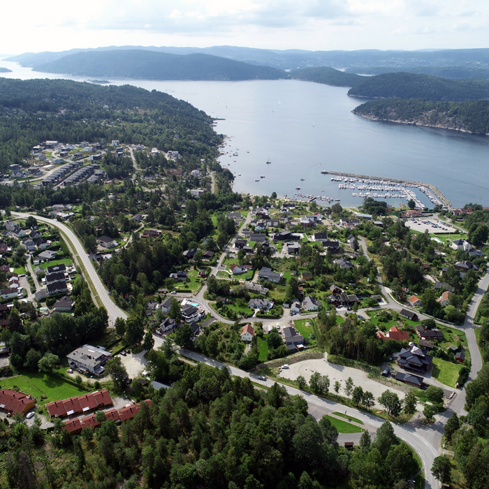
Fagerstrand (NO)
Scale XL urban
Team representative urbanist, urban planner, landscape architect or architect
Location Fagerstrand, Nesodden
Population 3,000 inhabitants
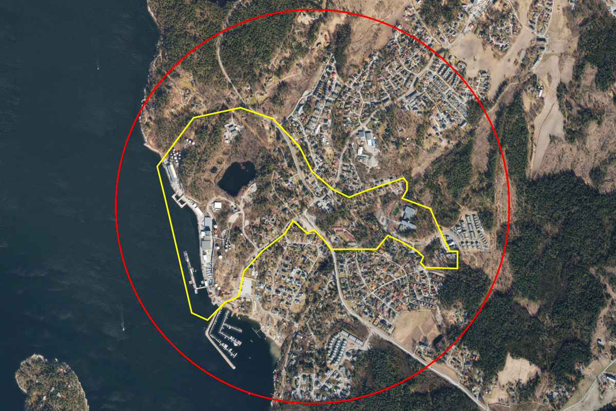
Strategic site 246 ha - Project site 57 ha
Site proposed by Nesodden municipality
Actors involved Nesodden municipality
Owner(s) of the site Private developers, Nesodden municipality
Commission after competition Workshop on site and urban studies with the municipality or private developers
Information complémentaire
Urban City Strategy
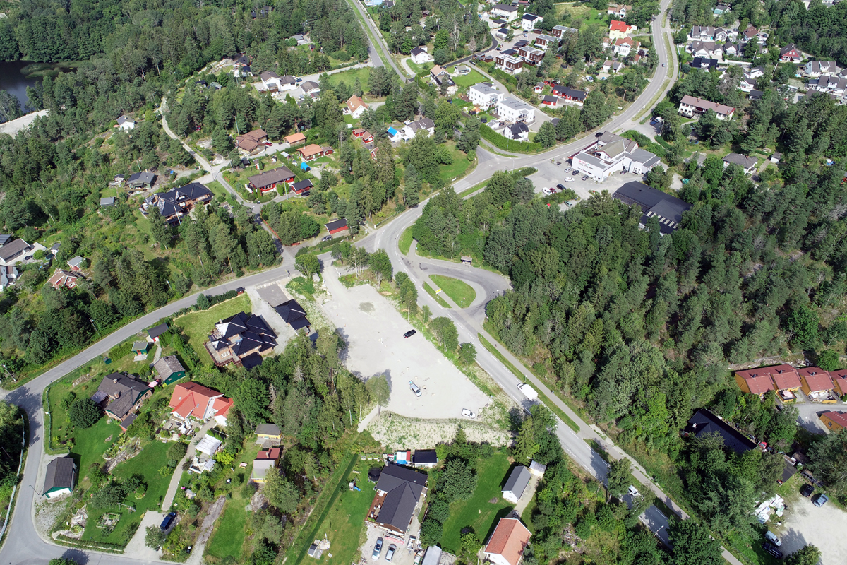
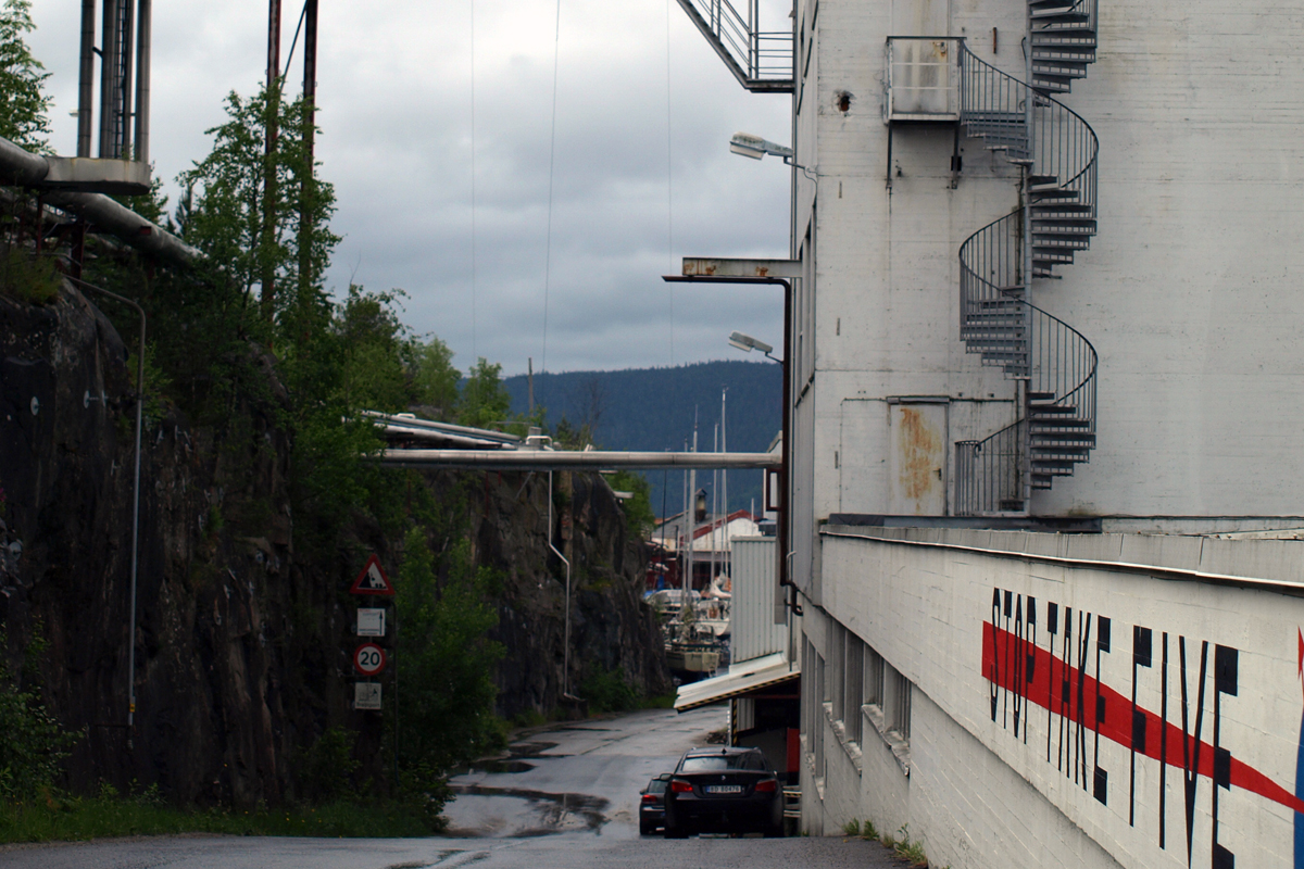
Fagerstrand is a fragmented coastal suburb, characterized by a disused industrial site, a lack of places for socialising, and a dangerous road junction, but with the potential to become a new hub along the Oslo fjord.
Due to changes in the economy, nature has reclaimed the abandoned remnants of the oil age, and turned them into woodland cathedrals and nesting sites for birds. These green pockets now form a no-man’s land between different areas earmarked for future development. Here, the municipality is looking for an innovative plan that can link the areas together to make Fagerstrand feel like one place, on nature’s terms.
Site Definition
Fagerstrand is designated for urban densification as a connected part of the Oslo metropolitan area. Two large development sites, one on the seafront and the other in the forest, are divided by a green corridor that stretches through the area where the centre will be located. Fagerstrand’s identity is closely tied to its intimate relationship to the sea and to the forest. How can this identity be retained as the place is transformed and intensified with urban qualities?
This site invites entrants to challenge conventions about what being central, and urban, entail. The municipality asks entrants to question how ecological processes and the built environment may help to reduce social inequalities and create a vibrant place to live for humans and non-humans alike.
How Must Metabolism and Inclusivity Be Developed and Connected?
Nesodden can be said to have a typical rural structure. The peninsula was once a place where people from Oslo had their holiday cabins, and up to recently a relatively scattered housing has been a feature of Nesodden’s development. The first houses were built for the industrial workers in the early 20th century, and more recently the development of residential housing has been driven by commuters. Suburban areas such as Fagerstrand do not have a typical structure with a “centre”, and their services are spread out.
The municipality of Nesodden is now preparing for Fagerstrand to become one of two priority growth areas in the municipality, as the sub urban community will accommodate 35% of the municipality’s future population growth.
Today there are natural features consisting of forests, meadows, and the coastal landscape close to the built-up areas in Fagerstrand. Strengthening and preserving the links between the forest and the sea will be an important priority. Fagerstrand needs a more coherent and compact structure in order to work well as a local centre. When developing a coherent centre and linking various development sites together, the municipality is looking to use architecture as the tool to explore how ecological processes and urban development can help to reduce social inequalities and create a viable, sustainable centre for all kinds of life.
Nesodden municipality wants to bring nature into the heart of the community and find new ways of thinking about how to invite nature in, so as to reunite people and their lives with the countryside around them. Green corridors that are rich in biodiversity should be used to strengthen the links between the inhabitants and the countryside, the forest and the fjord. The development process shall provide spaces for a rich variety of local species of fauna and flora, protect bird life, and attract pollinating insects.
Fagerstrand is an urban area in a rural setting, and this quality shall be kept while at the same time creating urban qualities and facilities. It shall be developed on nature’s terms, and in a way that prioritises human well-being and lives.


Questions à propos du site
Is it possible to get the Orthophoto maps showing changes over time, as pdf/jpeg. The resolution is very poor in the programme (page 9).
Historical orthomaps have been uploaded as png to the complete site folder under 0-New Docs After Launch.
Is it possible to get a cadastral map in cad showing property boundaries?
A dwg. map has been uploaded to 0-New_docs_after_launch folder. Filename: property_limits_fagerstrand.dwg
What is the follow-up commission?
The development of Fagerstrand is still in the very early stages, and the goal of the Europan participation is to create an urban vision and highlight key issues to guide the plan onwards. The site is today a small intersection, but will in the future be a lively centre. The proposals from the competition will form the basis for evaluating what further work should be prioritized. The municipality of Nesodden is committed to continuing working with the winners after the competition. Furthermore, the consortium of developers at the site are eyeing the competition with great interest. Fagerstrand gives the winners a central seat at the table and many opportunities when what will be one of the next large developments in the expanding "Fjord City" takes shape.
Would it be possible to have the map of the itinerary followed during the video? Which route has been taken to come back?
Yes. The map has been uploaded to the complete site folder.
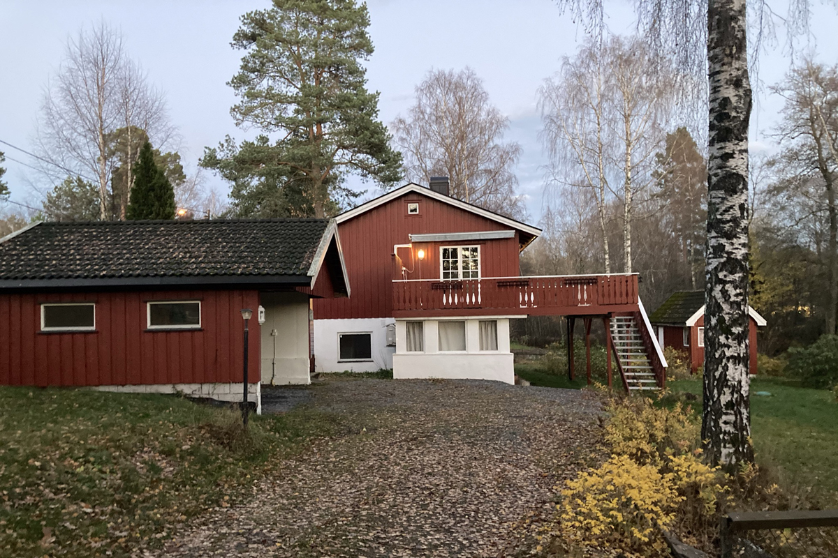
In the files there is a number of pictures, but it is not always clear which site on the map corresponds to them. It would be useful to have each picture linked with numbers with the actual places.
Here is a map of the pictures in the 3Project_Site/PS-b-pictures folder:
Besides the official roads, do people spontaneously use any trails?
The forrest tracks and paths outside the industrial site is frequently used by the residents. The industrial site is closed for the public, but there is large ambitions to open up these amazing green spaces to current and future residents and visitors to Fagerstrand in the future. This is one of the primary goals of participation in Europan.
Could we have any CAD (or other format) files regarding the tanks and the pipes? In particular, we would like to have more information about the specific measures and materials of the tanks and the precise location of the pipes through the territory.
These are unfortunately not available.
Is the area subject to floods, landslides, or specific problems related to climate change?
No, there are no hazards particular to the site. However, climate change will likely bring increasing extreme rain events and periods of less rain and more heat. We are not so used to experience shortage of water in Norway, but this could be a issue in future summers. Future summers are likely to be hotter and drier, interrupted by heavy, damaging rain events. Future planning and development need to consider these changes and how they can be used in a positive way and with the goal of minimising damage.
- Is there a building regulation, i.e. regulations and guidelines that regulate building practices (e.g. distance between buildings, maximum building height or urban indicators) - Do you have landscape plans at different levels, i.e. regional and provincial? Where can we find the documentation?
There is no zoning plan for the area that outlines the examples that you give. It is likely that the competion site will be divided into several zoning plans over the next few years. Our goal is that the competition winner(s) will help set the parameters for the plans.
These zoning plans will have to comply with regional plans, Norwegian planning law «plan- og bygningsloven» and the councils strategic plan.
You can find information on the portal where you can download data in shapefiles (GIS) and metadata. - Where can we deliver the report on the questions and answers that have been given by the inhabitants of the region regarding their wishes and needs in the coming years?
There is no report made as yet with the result of the questionnaire sent out to the residents at Fagerstrand. We received over 300 answers in Norwegian so translating them is unfortunately too big a task.
The main feedback were:
-
More efficient commute to Oslo, primarily by boat
-
Most are positive to further developments at Fagerstrand and would like a wider variety of services, shops and leisure available. There is also a need for more variation in the housing typologies.
-
Most would like a more coherent centre and better connection between the center and the areas by the fjord.
-
More places of employment.
-
A minority wants no changes at Fagerstrand.
Can you share the report of the site visit?
The video from the site visit is the only documentation from the site visit. No additonal report exists.
Do you share dwg files with 3d topography?
There is 3d information in various formats in the complete site folder.
Is there an existing zoning plan? and development plan for the next years?
There is no zoning plans for the site, but these will be made over the next few years. The councils strategic plan outlines the future centre of Fagerstrand and the development areas around it (including the industrial site). See the strategic plan for Nesodden in the site brief page 11. More on the private development initiatives on page 25.
Do we need to keep the industrial area? Can be partially demolished and re-functionalized? what can be demolished?
The industrial area is not to be kept. ‘Everything’ can in principle be demolished and removed.
We are however, interested in how new buildings and structures maintain and develop the industrial history of the site.
Le site est lié au thème suivant
Revitalisation Sur ces sites, l'impulsion de la transformation vient du territoire et de l'utilisation de toutes les ressources (naturelles, écologiques, infrastructurelles) pour le régénérer.
Rendre les territoires performatifs
Ici, le territoire a besoin de se reconnecter à son contexte social pour ajouter de nouvelles qualités créatives et culturelles.
Documents spécifiques
Questions à propos du site
Pour pouvoir poser une question, vous devez être connecté (et, par conséquent, inscrit au concours).
Ve. 16 mai 2025
Date limite de soumission des questions
Ve. 30 mai 2025
Date limite de réponses aux questions
Avant de soumettre votre question, assurez-vous qu'elle n'apparaît pas déjà dans la FAQ.
Merci de poser vos questions sur les sites dans le menu Sites.
Merci de poser vos questions sur le règlement dans le menu Règlement.
Si votre question ne reçoit pas de réponse dans les 10 jours, merci de vérifier qu'elle ne figure pas dans la FAQ sous un autre intitulé ; sinon, contactez le secrétariat concerné par email (secrétariats nationaux pour les sites, secrétariat européen pour le règlement.)